Mostrando 632 resultados
Descripción archivística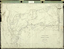
Territorio da concessão da Companhia do Nyassa. Carta elaborada pelo Governador Ernesto Jardim de Vilhena sobre a carta anterior, com as suas ultimas informações. Lisboa. [Territorio de concesión de Companía de Nyassa. Mapa elaborado por el gobernador Ernesto Jardim de Vilhena sobre el mapa anterior, con sus últimas informaciones. Lisboa.]
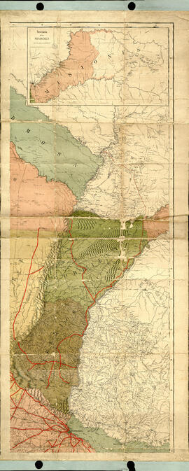
Territorio de las Misiones (en cuestión con el Brasil).
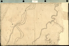
Track Survey of the River Paraná. Sheet N° 2. Buenos Aires to Paloma Island. [Levantamiento del trayecto del río Paraná. Hoja N°2. Buenos Aires e Isla Paloma] Impreso.
Track Survey of the River Paraná. Sheet N° 3. (Paloma Island to Curumbé Island.) [Levantamiento del trayecto del Río Paraná. Hoja N ° 3. (Isla Paloma a Isla Curumbé.).] Impreso.
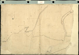
Track Survey of the River Paraná. Sheet N° 4. (Curumbé Island to Arroyo Soldado). [Levantamiento del trayecto del Río Paraná. Hoja N ° 4. (Isla Curumbé a Arroyo Soldado).] Impreso.
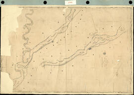
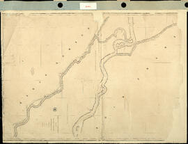
Track Survey of the river Paraná. Sheet N° 5. (Arroyo Soldado to Acollarado Island). [Levantamiento del trayecto del río Paraná. Hoja N ° 5. (Arroyo Soldado a Isla Acollarado).] Impreso.
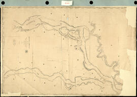
Track Survey of the River Paraná. Sheet N° 6 (Acollarado Island to Mouth of Colastiné). [Levantamiento del trayectos del Río Paraná. Hoja N ° 6 (Isla Acollarado a la Boca de Colastiné).] Impreso.
Track Survey of the River Paraná. Sheet N° 7. (Mouth of Colastiné to Latitud 29°55"). [Levantamiento del trayecto del Río Paraná. Hoja N ° 7. (Boca de Colastiné a Latitud 29 ° 55").] Impreso.
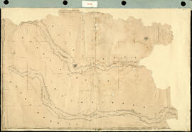
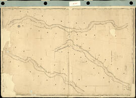
Track Survey of the River Paraná. Sheet N° 9. (Latitud 28° 40' to Guardia Cerrito). [Levantamiento del trayecto del Río Paraná. Hoja N ° 9. (Latitud 28 ° 40 'hasta Guardia Cerrito).] Impreso.
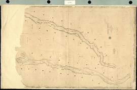
Track Survey of the River Paraná. Sheet N°8. (Latitud 29° 55' to Latitud 28° 40'). [Levantamiento del trayecto del Río Paraná. Hoja N ° 8. (Latitud 29 ° 55 'a Latitud 28 ° 40').] Impreso.
Resultados 611 a 620 de 632